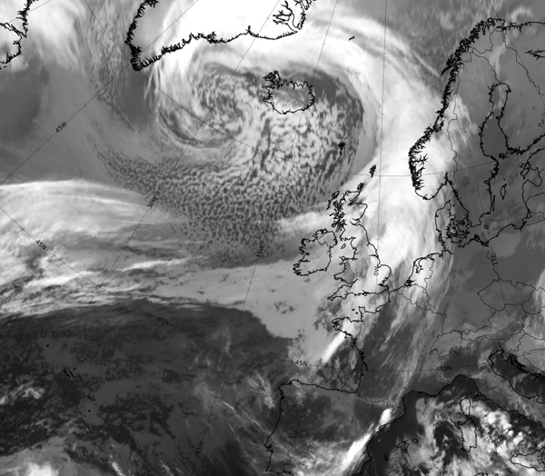
 THIS is the latest satellite image of the super storm heading for Ireland in what is already being dubbed ‘Black Wednesday’.
An Orange weather alert is already in place, but after a horrible day so far, the worst is yet to come overnight tonight and right through into the early hours of Thursday.
Wind gusts of up to 80mph are predicted – along with sea swells of up to 70-feet.
The storm can be seen in the north Atlantic, developing into a twisting low and will be brought here by bitter northerly winds.
Tags:


