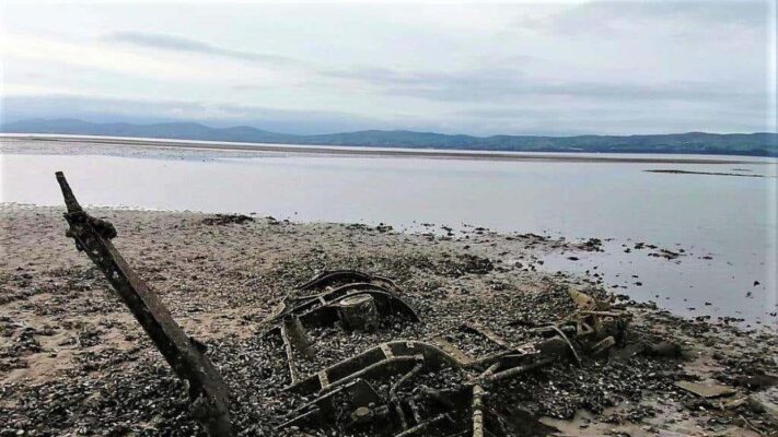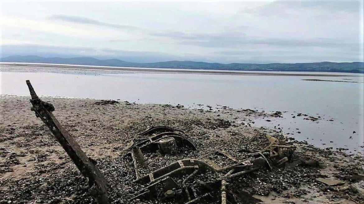
The wreckage of the Westland Dragonfly discovered at Lough Foyle
The Westland Dragonfly went down in Lough Foyle during a recovery exercise in 1958.
It had been in service as an air-sea search and rescue helicopter, based at the Royal Naval Air Station Eglinton, now the City of Derry Airport.
The remains of the craft have now been identified as part of a coastal survey.
The Topographic LiDAR & Orthophotography survey, provides high resolution aerial photographs, near-infrared imagery, and 3D laser scans of the ground surface.
It reveals what the coastline currently looks like as well as identifying scores of historic wrecks, castles and quays.
While most were already recorded on the Historic Environment Record of Northern Ireland (Heroni), more than 150 new heritage sites were discovered.
Remnants of the Dragonfly were initially spotted in the aerial photos of Lough Foyle before a further physical inspection of the site revealed the wreck of a very early form of helicopter, lying on its starboard (right) side on the gravelly bank.
Though heavily corroded, the frame of the helicopter and its three rotor blades were mostly intact, with remnants of the Royal Navy stencilling still discernible down the tail boom.
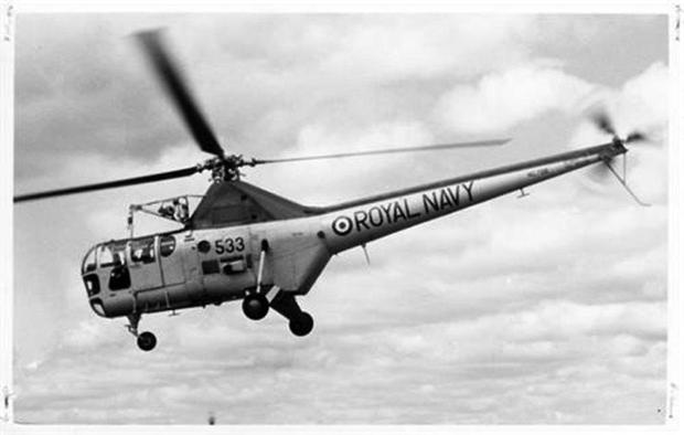
It was identified as a 1955 Westland Dragonfly naval air-sea search and rescue helicopter, based at the Royal Naval Air Station Eglinton, now the City of Derry Airport.

Photo of similar model of Westland Dragonfly in 1955
The exact position of the wreck is not being released as the crash site is located on dangerous soft sediment and there is a significant number of potentially live Second World War and post-war ordnance at the site.
Further information on the find will be available on a new coastal information website, The NI Coastal Observatory, which will be launched by the department of agriculture, environment and rural affairs in the near future.
Tags:


